OLYMPIA — Two bills signed into law by Gov. Jay Inslee will make it harder for wildfires to spread by removing common fuels known to feed the fires.
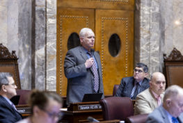
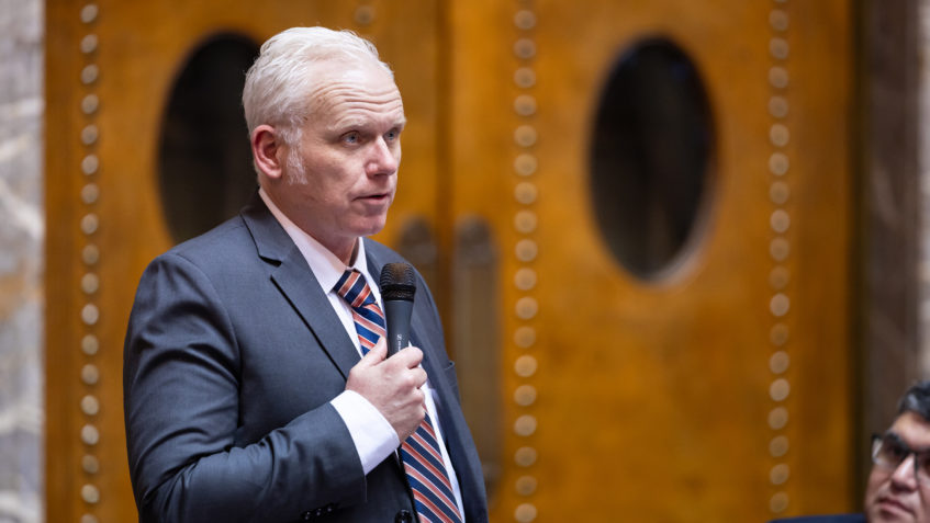
SB 6121 and SB 6120, both sponsored by Sen. Kevin Van De Wege (D-Lake Sutherland), focus on the elimination of dead timber waste and on the use of fire-resistant materials in new homes built in high-risk areas.
SB 6121, signed into law today, should speed the removal of slash – piles of dead forest growth common in timber areas – by allowing an environmentally friendly method of incineration that releases fewer emissions and creates biochar, a by-product useful in agriculture.
“Right now, companies have little incentive to remove slash, so the piles just sit there and dry out, sometimes over years,” Van De Wege said. “The result is a ready and abundant supply of ground fuel in the event of a wildfire.”
New incineration technology using flame cap kilns can turn slash into a carbon-rich by-product with superior water-retention properties. Mixing biochar with fertilizer sequesters the carbon in the ground and reduces the amount of water needed for irrigation, simultaneously easing the demand on the state’s limited water supply.
“This bill permits the use of the flame cap kilns that help us efficiently make biochar,” said Jake Dailey of the U.S. Rake Force, a veteran-owned regenerative agroforestry and conservation startup in southwest Washington. “This opens the door of the carbon market to small-scale producers and is a way to subsidize the cost of managing our forests to be more resilient against catastrophic fire.”
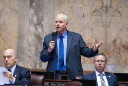
Van De Wege’s other bill, SB 6120, signed into law on March 15, directs the state Department of Natural Resources (DNR) to produce maps identifying the areas in Washington counties that face the greatest risk of wildfires. Prior wildfire legislation by Van De Wege in 2018, SB 6109, mandated the use of fire-resistant materials in new homes in high-hazard areas. But that bill proved difficult to implement because current data on hazards and risk is not available for all counties. SB 6120 solves that problem by directing DNR to map all areas for all counties.
“Using fire-resistant materials in new homes in high-risk areas will make it harder for wildfires to spread, but we can’t do it if we’re not sure where those areas are,” Van De Wege said. “Current, comprehensive maps will tell us where this kind of construction will do the most good.”
DNR must develop two types of maps. Hazard maps will designate areas as low, moderate, high, or very high wildfire hazard; risk maps will designate vulnerable resources or assets based on exposure and susceptibility to a wildfire. Local jurisdictions may develop hazard and risk maps of their own for use until the DNR maps are completed, and may update DNR’s risk maps at any time after their completion contingent on the approval of a local fire marshal.
Related strategies for improving wildfire resistance in high-risk areas call for new driveways to be shaped and sized to accommodate the turning needs of large fire response vehicles.
“We can’t predict where or when a wildfire will break out, but we can anticipate where it’s more likely,” Van De Wege said. “Anything we do to slow the spread and shrink the size of a wildfire in those areas will limit the damage to our forests and air quality while also reducing the cost of putting out the fire.”
A career firefighter, Van De Wege gained early, firsthand experience in fighting wildfires and observing the factors that enable them to spread – two of his first calls as a rookie firefighter were in response to wildfires.