OLYMPIA — Legislation on its way to the governor will require the state Department of Natural Resources (DNR) to produce maps identifying the areas of Washington state that face the greatest risk of wildfires and would most likely benefit from the use of fire-resistant materials in new homes.
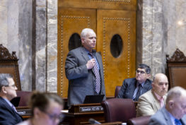
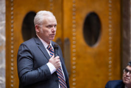
“There are all kinds of things we can do to reduce the size and spread of wildfires, and one of them is to use fire-resistant materials in homes in the areas of greatest risk,” said Sen. Kevin Van De Wege (D-Lake Sutherland), sponsor of SB 6120. “Identifying those areas in each county will enable us to use fire-resistant materials where they will do the most good.”
DNR must develop two types of maps. Hazard maps will designate areas as low, moderate, high, or very high wildfire hazard. Risk maps will designate vulnerable resources or assets based on exposure and susceptibility to a wildfire hazard. Local jurisdictions may develop and use their own wildfire risk maps until the DNR maps are completed and could later update DNR’s risk maps, subject to the approval of a local fire marshal.
Strategies for improving wildfire resistance range from requiring fire-resistant materials in roofs and other architectural features likely to catch fire, to requiring driveways be shaped and sized to accommodate the turning needs of large fire response vehicles.
SB 6120 was passed first by the Senate and then the House, where it was amended, requiring concurrence today by the Senate.
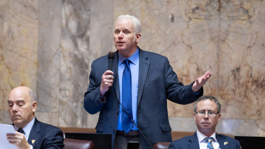
“We can’t pinpoint where or when a wildfire will break out, but we can anticipate where it’s more likely,” Van De Wege said. “Using fire-resistant materials and strategies in those areas will lead to smaller, slower fires and reduce the damage to our forests and air quality.”
A career firefighter, Van De Wege gained early, firsthand experience in fighting wildfires and observing the factors that enable them to spread. Two of his first calls as a rookie firefighter were in response to wildfires.